


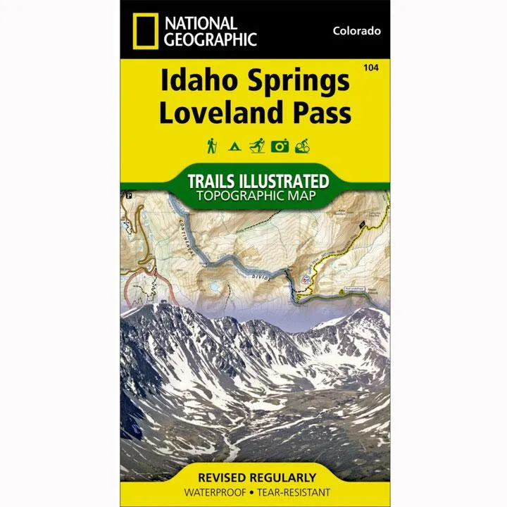
The most comprehensive recreational map for: Arapaho and Pike National Forests; Mount Evans Wilderness; Idaho Springs, Georgetown, Montezuma, Keystone, Clear Creek, Chicago Lakes, and Summit Lake; 14ers: Mt. Evans, Mt. Bierstadt, Grays and Torreys peak; Loveland, Webster, Juniper and Guanella passes; Ski Areas: Arapaho Basin, Loveland and Keystone.
- Approximately 4" x 7 1/2" folded; 22" x 32" fully opened
- Scale = 1:40,680
- Map revised - 2003
- Printed on waterproof, tear-resistant paper.
More than just a map, National Geographic Trails Illustrated topographic maps are designed to take you into the wilderness and back. Printed on tear-resistant, waterproof material, this map can go anywhere you do. Each map is based on exact reproductions of USGS topographic map information, updated, customized, and enhanced to meet the unique features of each area. The maps include valuable wilderness tips and Leave No Trace guidelines, along with updated trails, trailheads, points of interest, campgrounds, and much more. With a new color palette and stunning shaded relief, backcountry navigation has never been easier.
![C.E. Smith Backing Plate f/70 Series Rod Holders rh [53673]](https://www.supgdar.shop/image/ce-smith-backing-plate-f70-series-rod-holders-rh-53673_IyjPV7_300x.webp "C.E. Smith Backing Plate f/70 Series Rod Holders rh [53673]")


 Topographic Wall Map by Spatial Vision")


![HP Laser 107w Wireless - Print speed up to 21 ppm - [4ZB78A]](https://www.supgdar.shop/image/hp-laser-107w-wireless-print-speed-up-to-21-ppm-4zb78a_aLMxdF_300x.webp "HP Laser 107w Wireless - Print speed up to 21 ppm - [4ZB78A]")
")

